Invited Speaker 1
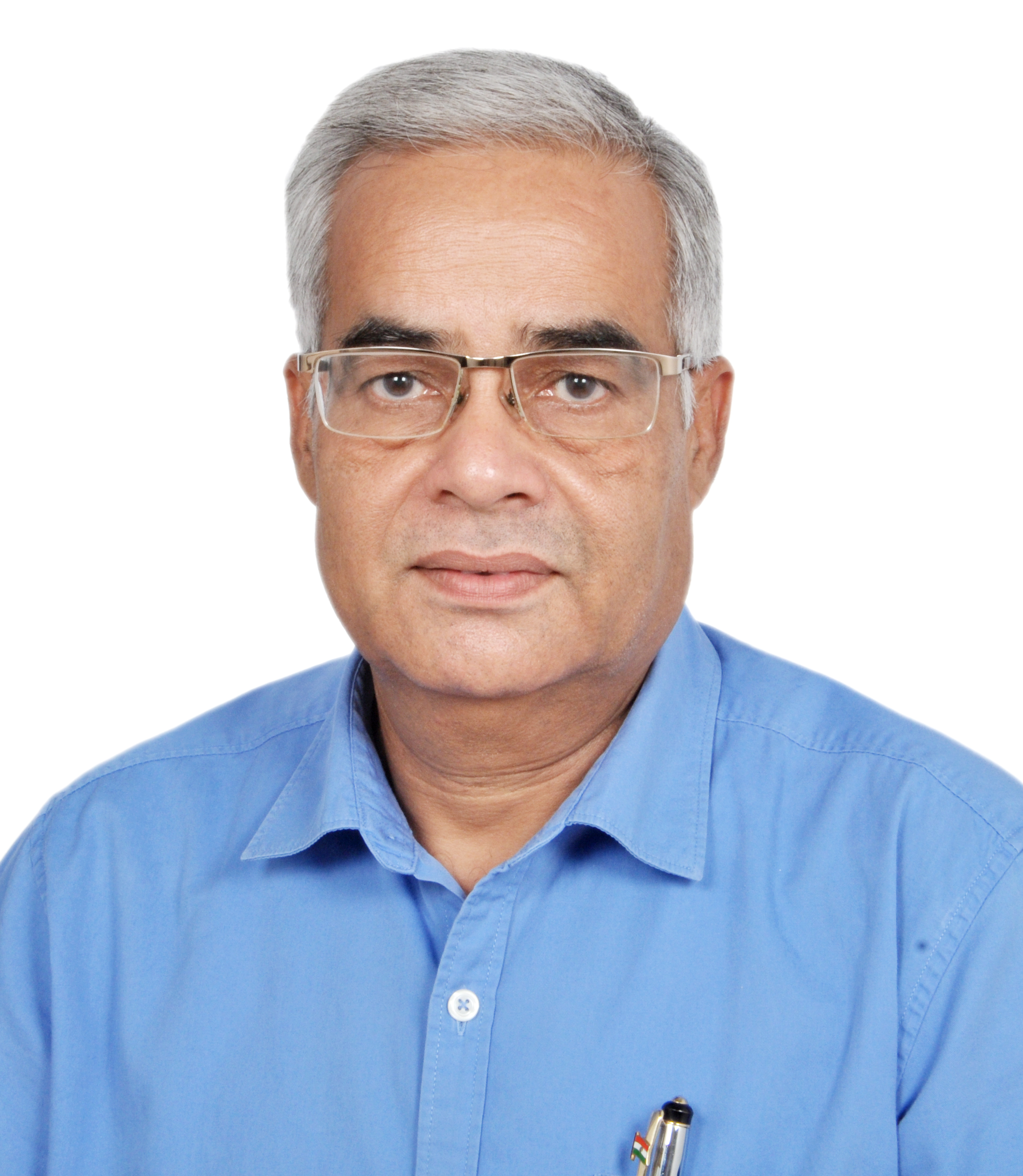
Prof. Dr. Bhagwan Singh Chaudhary
(Kurukshetra University, India)

Abstract :
Sustainable Water Resource Management through Geospatial Technology: Indian Perspective
B. S. Chaudhary
Department of Geophysics, Kurukshetra University, Kurukshetra -136119, India
Abstract. The globe is facing great pressure on water resources availability due to enhanced pressure by continuous increase in population, urbanization, industrialization, and climatic change. Global distribution of fresh water resources is skewed and uneven which makes it more pertinent to conserve, preserve, recycle and reuse the water in prudent manner. Geospatial technology provides a handy tool for mapping and management of water resources on sustainable basis. Geospatial technology is the integrated use of RS, GIS, GPS and ICT for generating baseline information for the effective and optimal utilization of water resources. India experiences an average precipitation of 117 cm/year which makes about 1,720 m3 of fresh water per person. But its spatial and temporal distribution makes it highly uneven and calls for immediate water conservation measures. Haryana state is covered by Yamuna, the Ghaggar and internal basins which are parts of Ganges and Indus system. Water resource development plan maps focusing both on groundwater and surface water resource action plans in parts of Haryana state, India have been prepared. Hydrogeomorphological maps showing various groundwater prospect zones depicting groundwater worthy features have been prepared using IRS data. This information has been supplemented with the available inputs from existing sources about the depth to water level and groundwater quality etc. The other maps such as land use/ land cover, geomorphology, drainage/ canal network and soils have been consulted for preparing water resources action plans. The maps thus prepared depict different zones for further groundwater prospecting. The surface water resources action plan maps were prepared by integrating geomorphology, slope, drainage, soils maps and various sites have been suggested for site specific water resources conservation measures such check dams/ gully plugging, earthen dams etc. These are of utmost importance for groundwater amelioration, surface water conservation and optimal utilization of land resources in the state.


